Cellphone photos. Caught anything interesting lately? Post em!

While in vacation in Los Angeles yesterday we decided to go to the Hollywood Forever cemetery. We stopped and I saw a flat top guitar propped up with flowers and cards around it so I walked over to check it out. I just stood there in awe of the man I had spent most of my adult life listening to. I did not know but his birthday was just a couple of days away. :/
RIP Chris Cornell

20170716_181428.jpg
 
Last edited:
My father built a cabin on state forest land not too far from Dingmans Falls. Been to those falls before for sure. :thumbsup:
Nice area! We stayed over in Wilkes-Barre. Didn't realize the Delaware Water Gap area was half in New Jersey...so I ended up adding NJ to my list of visited states. ;) Nice area! The Old Mill Rd. was quite an adventure--the potholes were almost as bad as Michigan's. ;) But a hell of a lot more scenic, and no garbage strewn alongside the roads like we have throughout our state.

In a week and a half I'll be heading west. Plenty of pics on the way! Testing out the new Pixel XL's camera today (running the beta of Android O). I'll hopefully be heading to the lake for a few minutes tomorrow morning to give it a bit of a workout.
 
I overused my wallet today and could not get out to the Metropark for pics. Maybe tomorrow morning.

But, we did get over to the Watermark Grill for dinner. Ate outside, next to the docks, and near the marinas...

IMG_20170718_191641-01.jpg

IMG_20170718_191644-01.jpg
 
OK, I had to grab this one quickly at a red light, through my dirty windshield, but I just wanted to point out that Boat Town USA is the only place I know of that repurposes a beached boat as a planter. :D

IMG_20170720_072043.jpg

This was out at the marina behind the Watermark restaurant near us:

IMG_20170718_191641-01.jpg
 
Here is a picture I took the other day of a nearby river delta a few miles from home. As seen it is low tide and near the mouth with river channels and current visible and is about half to 3/4 mile wide. The tide zone is approximately 25 vertical feet here at its extreme and in a few hours this scene will look completely different. Approximately every 12.5 hours the incoming ocean flood peaks and this area, and depending on tide strength, potentially for several miles up river fills with up to 20 additional feet of sea water.
Capture.JPG
 
With my oldest brother visiting, we went driving around on some old logging roads and came across the bridge that used to be used as a foot bridge before it washed out.. The other half of the bridge can be seen on the gravel bar downstream. The area was full of bear scat although we only actually saw one bear, they were probably thick due to the blueberries and salmon.
Capture.JPGCapture2.JPG
Capture1.JPG
 
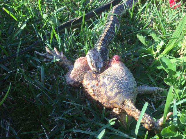
Just got back from a major unplug with week long camping trip to the Yukon and northern BC and saw some interesting stuff along the way... No internet, no music, just campfires every night and our little 8' cabover camper

First stop, Skagway Alaska. Just a 45 minute ferry ride from my home town but if we were to drive it, a 350 mile (one way) trip! There were 4 cruise ships docked in Skagway that day which gave the impression of being in some sort of city, and I couldn't wait to get out of that town! Don't do crowds that well..
Capture.JPG

Capture6.JPG

We spent the first night in Dyae Alaska, 9 miles out of Skagway, and the starting place for the stampeders that were heading over the Chilkoot pass to the Klondike gold fields in 1898. I was chopping some green wood to try to get a campfire going and took a bad swing and planted the damn hatchet in my leg, which caused my blood to run in rivers and ended up back in Skagway ER to get stitches! Not a great first night...

Next morning we went exploring the Dyae area, and first came to a salmon spawning stream at the tide flats.. Lots of pinks running!
Capture2.JPG

Afterwards we cruised the flats with our fat tire bikes.. the dog ran wild and free that day!
Then we found the old pilings that were once part of a dock used to offload all the gear and supplies those miners had to pack over the pass and onto the Klondike. These are all that are left of the remains of that venture. Hard to believe this abandoned town site was at one time a town of 10,000 people!
Capture4.JPGCapture3.JPG

Driving around we found this perfect fixer upper, just ready for a little restoration work! :eek::)
Capture1.JPG

Next up, onto BC and the Yukon Canada!
 
Bitting off more than than you can chew...

snakentoad.jpg
 
Part 2 of the week long trip into the Yukon. First picture was just over the White Pass looking at a mtn lake miles long that had not a ripple in it anywhere. Perfect mirror. When I was around float planes growing up in interior Alaska we sometimes had to land on these conditions and it is completely disorientating looking down at a perfect mirror of the sky. Just keep inching down, watching the instruments and waiting for the water to touch the floats and not knowing if you are 6 feet or 60 feet over the water!
Capture.JPG

Driving down what was quite possibly the roughest gravel road I have ever been on, for 50 miles into Quiet Lake. The sunset was worth the trip! It took us nearly 4 hours to drive the 50 mile stretch of road, and we were planning on going another 85 miles the following day but changed our mind and backtracked.

Capture2.JPG Capture1.JPG

My dog was watching everything that moved on the road, particularly ground squirrels!

Capture3.JPG

These last 3 were taken at the campground at Lake LaBerge, setting of Robert Service's Cremation of Sam McGee.

Needed to back off on the exposure for these shots, particularly the moon would have looked better backed off a little more.

Capture6.JPG

Capture4.JPG

Capture5.JPG
 
Last edited:
Back
Top Bottom