

You are using an out of date browser. It may not display this or other websites correctly.
You should upgrade or use an alternative browser.
You should upgrade or use an alternative browser.
Landscapes
- Thread starter MichaelJ
- Start date
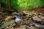
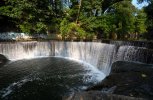
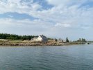

Allen Island, across the narrow channel (~400') from Benner. Both islands are former Wyeth family holdings now owned by Colby College. 5 miles offshore. The school provides several free moorings for transient sailors in the channel.
We were able to go ashore on Allen with prior arrangement. The house with the Mansard roof is where student workers bunk.
Serene.
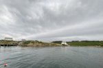
We were able to go ashore on Allen with prior arrangement. The house with the Mansard roof is where student workers bunk.
Serene.

Old Ears too
Super Member
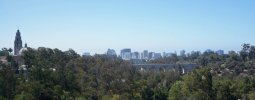
San Diego skyline from the aerial Skyfari ride at the S.D. Zoo.

genxsheepdog
New Member

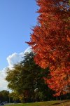

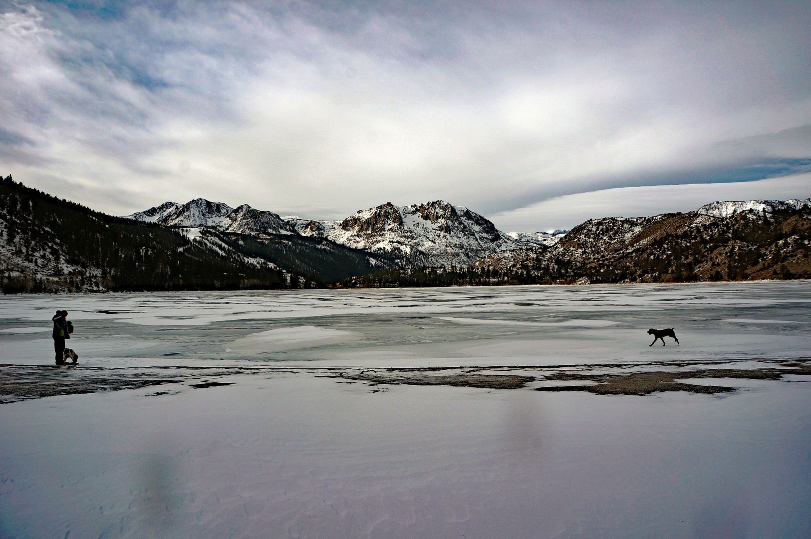
June Lake, Jan 2017.
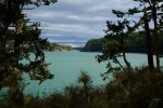

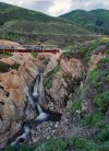
Interesting, and your post prompted me to read a little. It looks like Canadian silt lakes, but that does not seem to be the case here.Deception Pass Bridge, 10/25/25. No color manipulation here, the water really is an odd color.
View attachment 3622254
Also, I found out that there is a cold water reef under that bridge.

Have you ever toured THIS part of Deception Pass?
There's a beautiful world most of us never get to see right below the bridge.
 kissfm1053.com
Last edited:

onepixel
.
Deception Pass Bridge, 10/25/25. No color manipulation here, the water really is an odd color.
View attachment 3622254
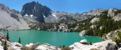
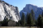
Temple Crag and Second Lake, Eastern Sierra, CA
The water gets it from glacier melt beyond the ridge.
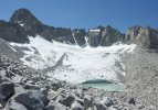
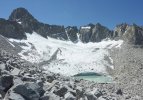
Palisades and Glacier. The prominent peak on the left is Mt. Sill (14,159').
View from the top of Mt. Sill. Temple Crag is partially on the right and Second Lake is behind it.

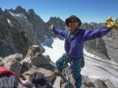
Me on top of Mt. Sill. It's not the highest in the chain.
Attachments


GuyK
Addicted Member
I
We also have a number of lakes around here that are colored from glacial silt as well, but Deception Pass is salt water, and it's a clear shot to the West down the Straight of Juan de Fuca to the Pacific ocean. There is a river that dumps in on the East side but it's just muddy, so I don't know why this narrows is unusually colored.
If I gotta rope up, I don't wanna go. But I totally get why others DO.Temple Crag and Second Lake, Eastern Sierra, CA
The water gets it from glacier melt beyond the ridge.
View attachment 3622532
Palisades and Glacier. The prominent peak on the left is Mt. Sill (14,159').
View attachment 3622562
View from the top of Mt. Sill. Temple Crag is partially on the right and Second Lake is behind it.
View attachment 3622558
Me on top of Mt. Sill. It's not the highest in the chain.
View attachment 3622556
We also have a number of lakes around here that are colored from glacial silt as well, but Deception Pass is salt water, and it's a clear shot to the West down the Straight of Juan de Fuca to the Pacific ocean. There is a river that dumps in on the East side but it's just muddy, so I don't know why this narrows is unusually colored.

Similar threads

- Replies
- 6
- Views
- 542


- Replies
- 60
- Views
- 2K